• Maxar Intelligence

      Maxar Intelligence


      • About Us
      • Leadership
      • Our Customers
      • Sustainability
      • History
      • Partner Ecosystem
      • Contact Us
    • Our Constellation
      • Overview
      • Use Cases
      • Imagery Leadership
      • Global Enhanced GEOINT Delivery
      • Geospatial Services
      • Satellite Access
        • Direct Access Program
        • Rapid Access Program
      • Satellite Imagery
        • Optical Imagery
        • Imagery Basemaps
        • Synthetic Aperture Radar (SAR)
        • Non-Earth Imaging (NEI)
      • Globe in 3D
        • Precision3D Data Suite
        • Precision3D Telco Suite
        • Precision3D Registration (P3DR)
      • On-Demand Intelligence
        • MGP Pro
        • Crow's Nest
        • Spatial on Demand
      • Mission Solutions
        • Raptor: GPS resilience for autonomous drone systems
      • Government
        • U.S. Government
        • Defense & Intelligence
        • Civil Government
      • Commercial
        • Consumer Mapping
        • Energy
        • Environmental
        • Mobility & Logistics
        • Telecommunications
      • Search for Imagery
      • Resources
      • Product Samples
      • Open Data Program
      • Global-EGD
      • MGP Xpress
      • MGP Pro
      • WeatherDesk
  • Maxar Space Systems

      Maxar Space Systems


      • About Us
      • History
      • Leadership
      • Customers
      • Suppliers
      • Contact Us
      • Spacecraft Platforms
      • Maxar 1300 series
      • Maxar 500 series
      • Maxar 300 series
      • Robotics and Support
      • Commercial
      • Civil Missions
      • Defense
  • News & Events

      News & Events


    • Blog
    • Events
    • Media Coverage
    • Press Releases
    • News Bureau
  • Careers

      Careers


    • Careers
    • Benefits
    • Diversity and Inclusion
    • U.S. Military & Veterans
    • Internships
  • Sales Inquiries

      Sales Inquiries


    • Contact Sales

Maxar 500™ series:

LEO missions enabled by WorldView Legion technology

High-performance technology for government and commercial customers

Contact Sales

Accuracy, Agility, Stability

Using technology developments from WorldView Legion™, Maxar Space Systems provides high-performance satellites for the most challenging missions. Optimizing modularity, key features such as agility, stability and pointing accuracy, as well as tailored solutions for thermal and structural interfaces, we utilize cutting-edge engineering and architecture, customized to your needs.

WorldView Legion™ satellite in production

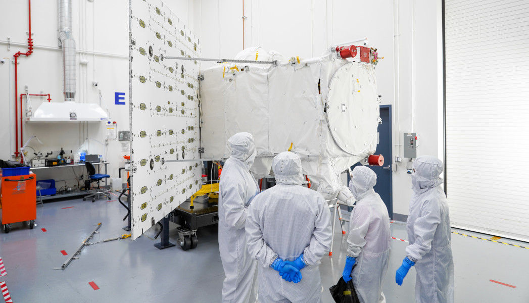
Bringing WorldView Legion™ capabilities to our customers

WorldView Legion™ will enable unprecedented visibility into our changing planet, to solve the biggest challenges facing our world today. Our constellation will redefine what’s possible by enabling significantly more accurate, comprehensive, and timely pattern-of-life and human geography analysis.

The Maxar 500™ series, based on WorldView Legion™ enables:

  • High agility
  • High stability
  • High pointing accuracy

Enabling complex missions

  • National security missions
  • High-precision Earth science
  • High-precision Space science
Learn More about WorldView Legion™
Careers Sales Inquiries Blog

© Maxar Technologies 2025 | Privacy Policy |
Website Terms of Use

Get Started
  • Careers
  • Sales inquiries
Maxar Intelligence
  • About us
  • Contact
  • Find a partner
Maxar Space Systems
  • About us
  • Contact
Legal
  • Privacy Policy
  • License Terms and Policies
  • Website Terms of Use
Explore
  • Resources
  • Blog
  • Media coverage

© 2025 Maxar Technologies | Privacy Policy | Website Terms of Use